


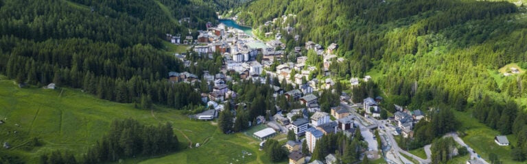
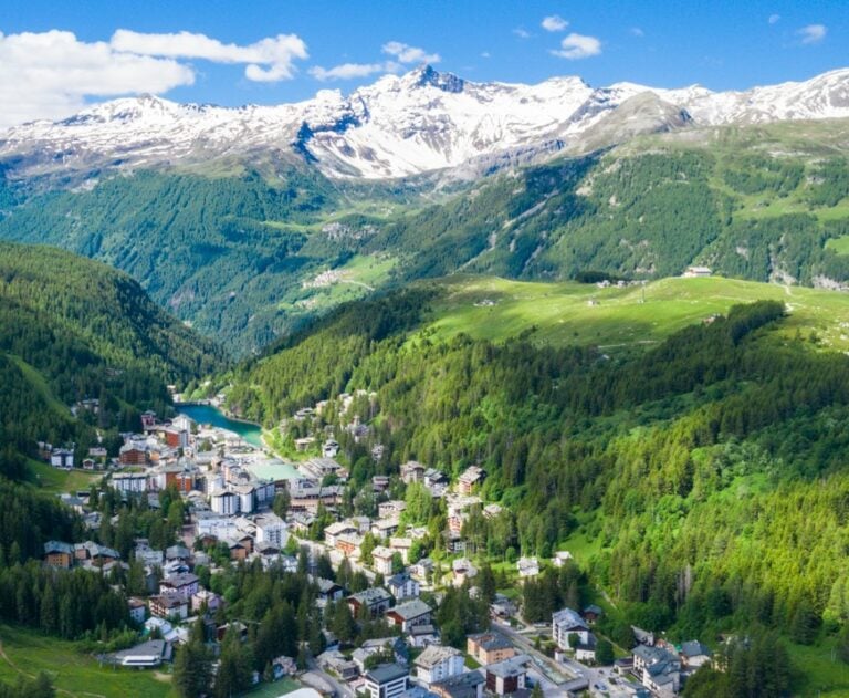


Summer walks in Madesimo
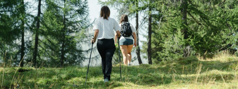
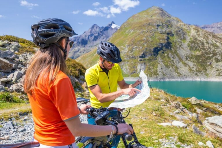
Simple mountain walks suitable for everyone

Short routes with little ascent
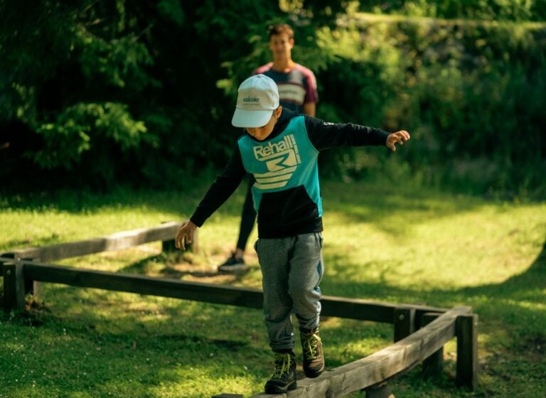
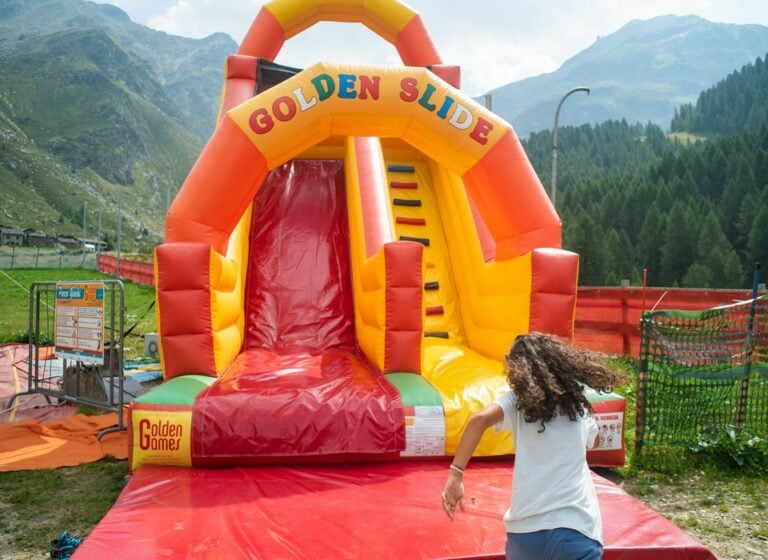
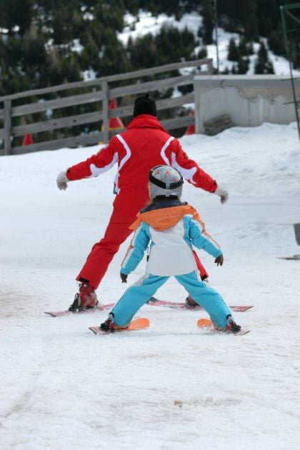
Easy walks for families and children
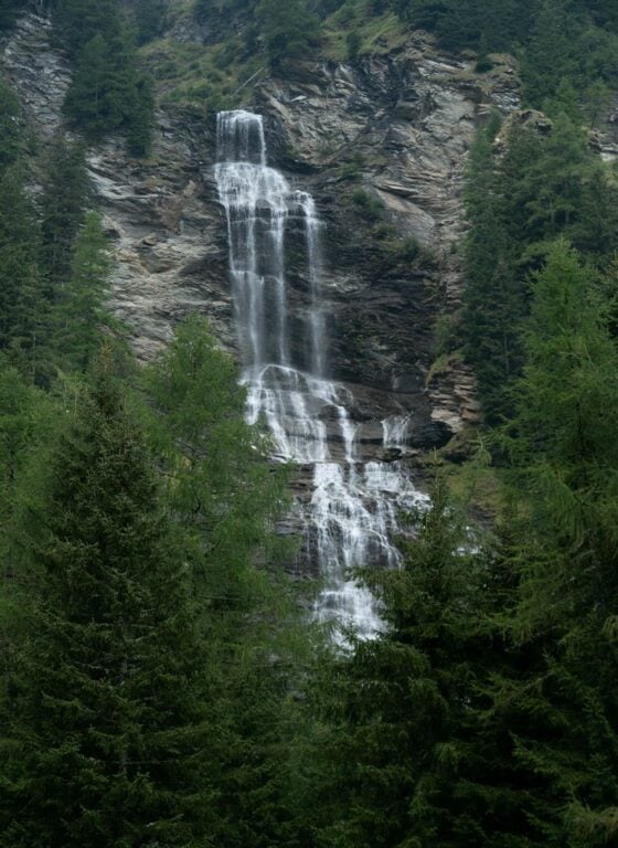
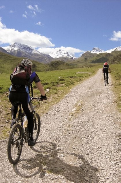
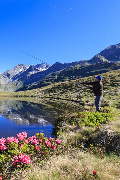
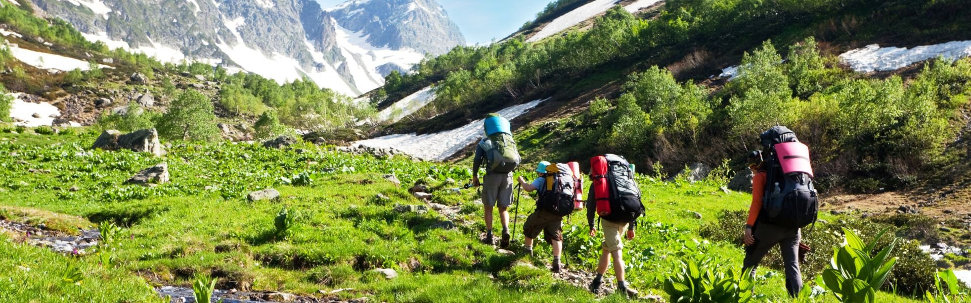
Walking in the mountains during summer is a delightful experience and a healthy activity that can be enjoyed at any age. Madesimo is an ideal holiday destination in the Alps because it combines a dense network of trekking trails for hikers with an equally rich offering of easy-level mountain walks, allowing for active enjoyment of nature and exercise without too much strain.
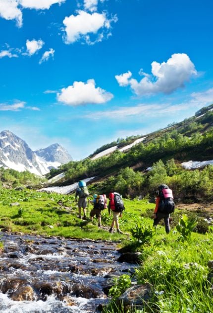
The routes for families, children, and teenagers near Madesimo are almost entirely flat (or with very minimal inclines), short in duration, and in many cases are also suitable for strollers and pets, perfect for picnics in the mountains and for engaging in outdoor activities with little ones, discovering nature.
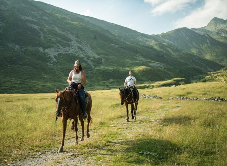
Discover family excursions near Madesimo